Grottole to Miglionico
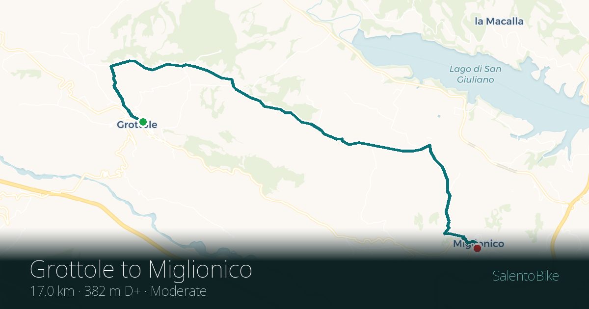
- Distance
- 17 km (11 miles)
- Ascent
- 382 m
- Riding time
- 1.8 h
- Difficulty
- Moderate
- Max gradient
- 14.7%
- Shape
- Point to point
Estimate
From the track
Indicative
Riding time only, estimated at 15 km/h plus one hour per 600 m of climbing. Stops not included. Elevation is interpolated, so the gradient shown is an average over 250 m rather than a point reading. Treat it as indicative rather than surveyed.
Longest continuous climb: 3.5 km for 327 m of ascent.
Along the route
Route facts
- Point to point, so plan how you get back
- Hilly for Puglia
- Longest continuous climb: 3.5 km for 327 m
- Highest point 476 m above sea level
Surface and conditions
We have not checked the road surface on this route in person yet, so we are not going to guess. If you ride it and want to tell us what you found, we will publish it with your note and the date.
Where this track comes from
This is a real GPS recording, but it was walked, not cycled. It follows a stage of the Via Francigena del Sud. Most of it is rideable; we have not ridden it ourselves.
The right bike for this route
Trek Checkpoint ALR
Gravel bike, tubeless 42 mm tyres. Handles the white country lanes without drama.
Rockrider or Trek e-bike
The Rockrider has a removable battery and 70–80 km of range; the Trek is lighter at around 17 kg but its battery is built into the frame.
Every rental leaves the shop ride-ready: helmet, lights front and rear, lock, frame bag, phone mount, pump and a puncture kit with spare tube.
Pick-up and drop-off are free at Via Francesco Ribezzo 2D in Lecce. We also deliver to where you are staying, for a fee that depends on the distance.
Would you rather not ride it alone?
We run guided rides of one or more days, mostly on quiet country lanes. Tell us how many days you have and what you like eating, and we will put something together.
Ask about a guided tour